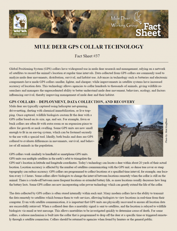
Global Positioning System (GPS) collars have widespread use in mule deer research and management, relying on a network of satellites to record the animal’s location at regular time intervals. Data collected from GPS collars are commonly used to analyze mule deer movements, distribution, survival, and habitat use. Advances in technology such as batteries and electronic components have made GPS collars smaller, lighter, and cheaper; while improvements in satellite systems have increased accuracy of location data. This technology allows agencies to collar hundreds to thousands of animals, giving wildlife researchers and managers the unprecedented ability to better understand mule deer movement, behaviors, ecology, and factors influencing survival, thereby improving management of mule deer and their habitat.
A product of the Mule Deer Working Group - Sponsored by the Western Association of Fish & Wildlife Agencies. Produced with support from the Mule Deer Foundation (www.muledeer.org) - Approved January 2021
Attached Files
- Version:
- File Type: pdf
- Size: 459.94 KB